Every outdoor app shows you the route. Trail Signal shows you the signal: where a call will get out, and where it won't. Record your walk and it warns you about 400 m before a predicted dead zone, while there's still signal to use.
Your location is used when you press record, and your tracks stay on your phone unless you sign in and sync them to your own account.
It's off by default. If you turn it on, readings are snapped to a 50-metre grid: a square of hillside, not a track. Live walk sharing is separate — per walk, only via a link you hand out, and the trail is deleted within a day.
Nothing is sold to anyone. Your data is only ever used to make the coverage map more honest.
Load a route and Trail Signal profiles the whole walk for signal: every gap and how long it lasts. While you're moving it watches the trail ahead and warns you about 400 m before a predicted dead zone. Warnings only fire while you still have usable signal, never after it's gone — a warning you can't act on is just noise. They arrive as notifications with the screen off and the phone in a pocket or race vest.
Worth saying plainly: these are predictions, and predictions can be wrong — plan as if they might be. In a real emergency dial 999 whatever the app says: an emergency call will try every network's mast, not just your own.
Twenty miles into a solo loop, phone in the vest, screen off. Last signal for the next stretch — message home now. Alert timing follows your actual moving pace, so a runner gets the same notice as a walker.
A full day above the valley, where coverage comes and goes with every col. Know which summits have signal and which descents don't, and where it comes back if you need it.
Silence doesn't mean trouble; usually it just means a hill is in the way. The person out there gets warned in time to send the "all fine" text before the gap. Live walk sharing adds a private link so you can watch, no app needed.
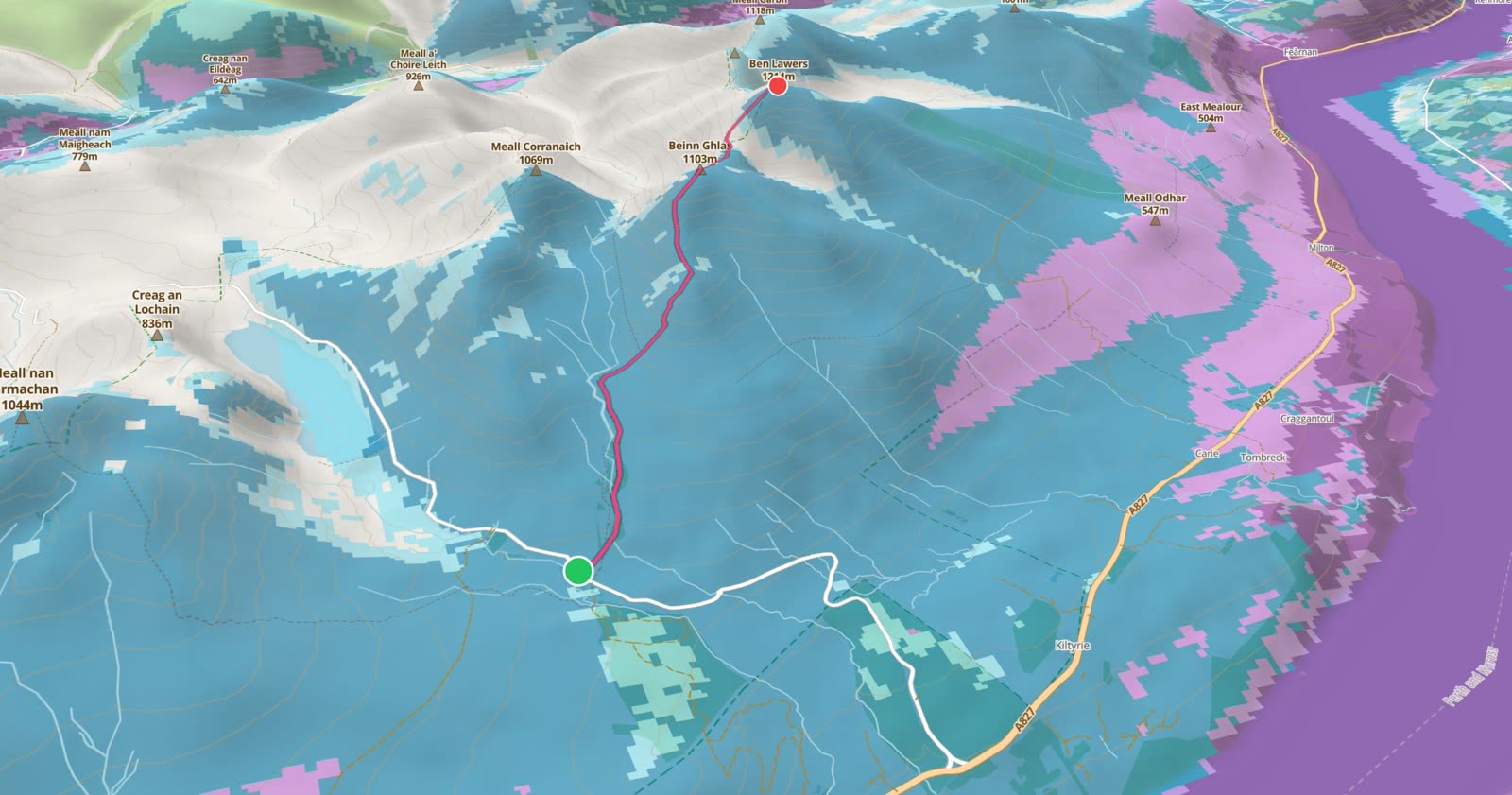
Official coverage predictions run optimistic — they were made for planning indoor coverage, not for a valley floor in Cumbria. So Trail Signal records what phones really measure on real walks, and every recorded walk feeds back into the map for the next person.
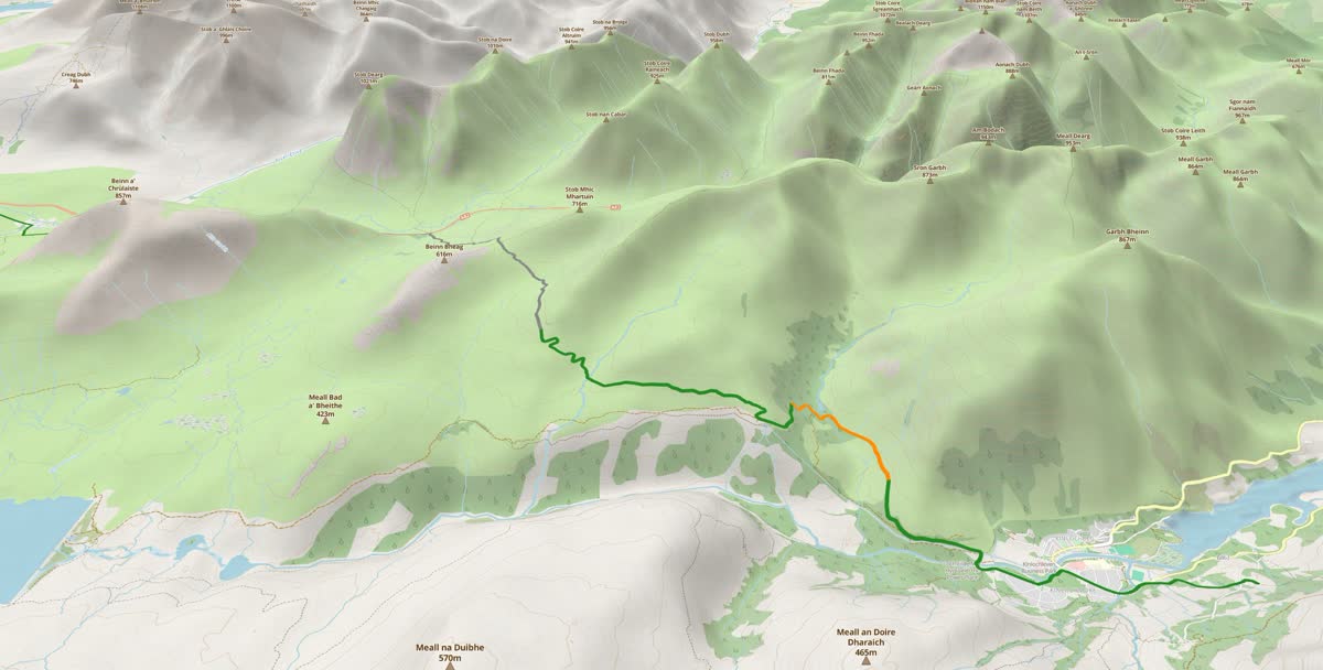
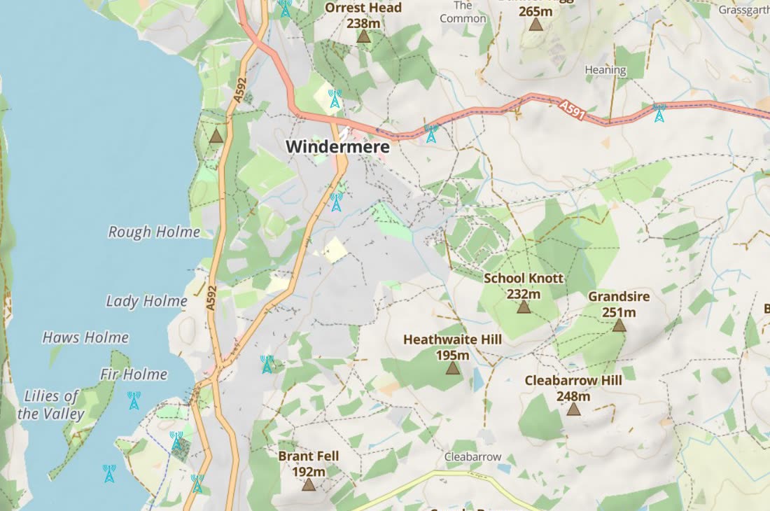
How the map is built: the data sources, their weaknesses, and the validation pipeline →
I'm Chris Booth. I spent thirty years building test and measurement equipment for mobile phone networks — the kit operators use to find out where their coverage actually works, as opposed to where the marketing map says it does.
I'm retired now. I walk up hills, I run a bit, and I got tired of guessing whether the top of the next one had signal. Trail Signal is the tool I wanted for myself: the same coverage engineering I did for the networks, pointed at footpaths instead.
It's a hobby, not a startup. There are no investors and no plan to sell your data. The company behind it is just me.
Usefulish Ltd — Companies House 17360947 · ICO register ZC209401
— Chris
Because right now it costs almost nothing to run. A small number of users on mostly static maps rounds to pennies a month, and I'm not going to charge you for pennies. If Trail Signal ever grows to where the servers send real bills, a paid tier for extras will cover them. The core stays free either way: coverage maps, offline downloads, walk recording and dead-zone warnings. The map improves as more people walk with it, so charging for the basics would be self-defeating.
Record 25 km of walks with community sharing on during the beta and you're a Founding Contributor: your first year of any future paid tier, free.
 Trail Signal